gpx_addressbase_16858
Today, 11.02.2026
Light rain shower
Wind speed3,6 km/h

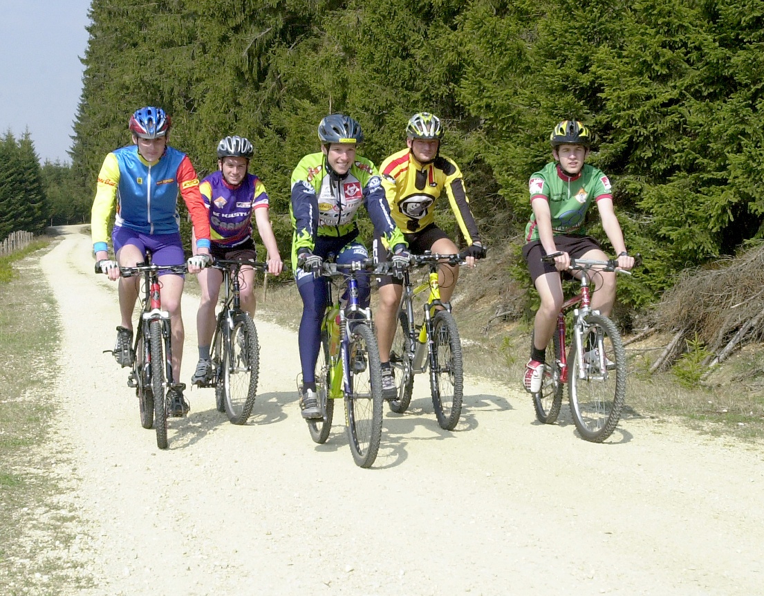
Mountain bike tour Starting from Bärnkopf, GH Wackelstein
Bärnkopf – Annabild – Saggraben – Dürnberg – Bärnkopf
Start in Bärnkopf at the "Einkehrstube-Wackelstein" or "Gasthof zum Kirchenwirt", the first 4 km run parallel to the "Ysperklamm route" to "Annabild" (wayside shrine), turn left here, steeper descent on asphalt (attention to grit in spring), then to Saggraben. Then along the Prinzbach to the small Kamp. From here always uphill, sometimes flatter – sometimes steeper, past the last house of Dürnberg and Dürnberg pond (not a swimming pond) back to Bärnkopf.
Attention: Impairment due to moisture and deep vehicle tracks, between km 8.65 - 11.75 (Prinzbach Valley) will repeatedly occur when it rains!

Light rain shower
Wind speed3,6 km/h
Light rain shower
Wind speed1,9 km/h
Bärnkopf Tourist Office
3665 Bärnkopf 103
(T) +43 2874 8212
(E) gemeinde@baernkopf.gv.at
(I) www.baernkopf.gv.at
Waldviertel Tourism
3910 Zwettl, Sparkassenplatz 1/2/2
(T) +43 2822 54109
(E) info@waldviertel.at
(I) www.waldviertel.at